
Ground-penetrating radar (GPR) is a geophysical method of imaging the subsurface using radar pulses. This non-destructive method uses electromagnetic radiation in the radio spectrum microwave band (UHF / VHF frequencies) and measures the transmitted signals from the structures of the subsurface.
Application
icon Detection of detailed stratigraphy in a very shallow range of depth
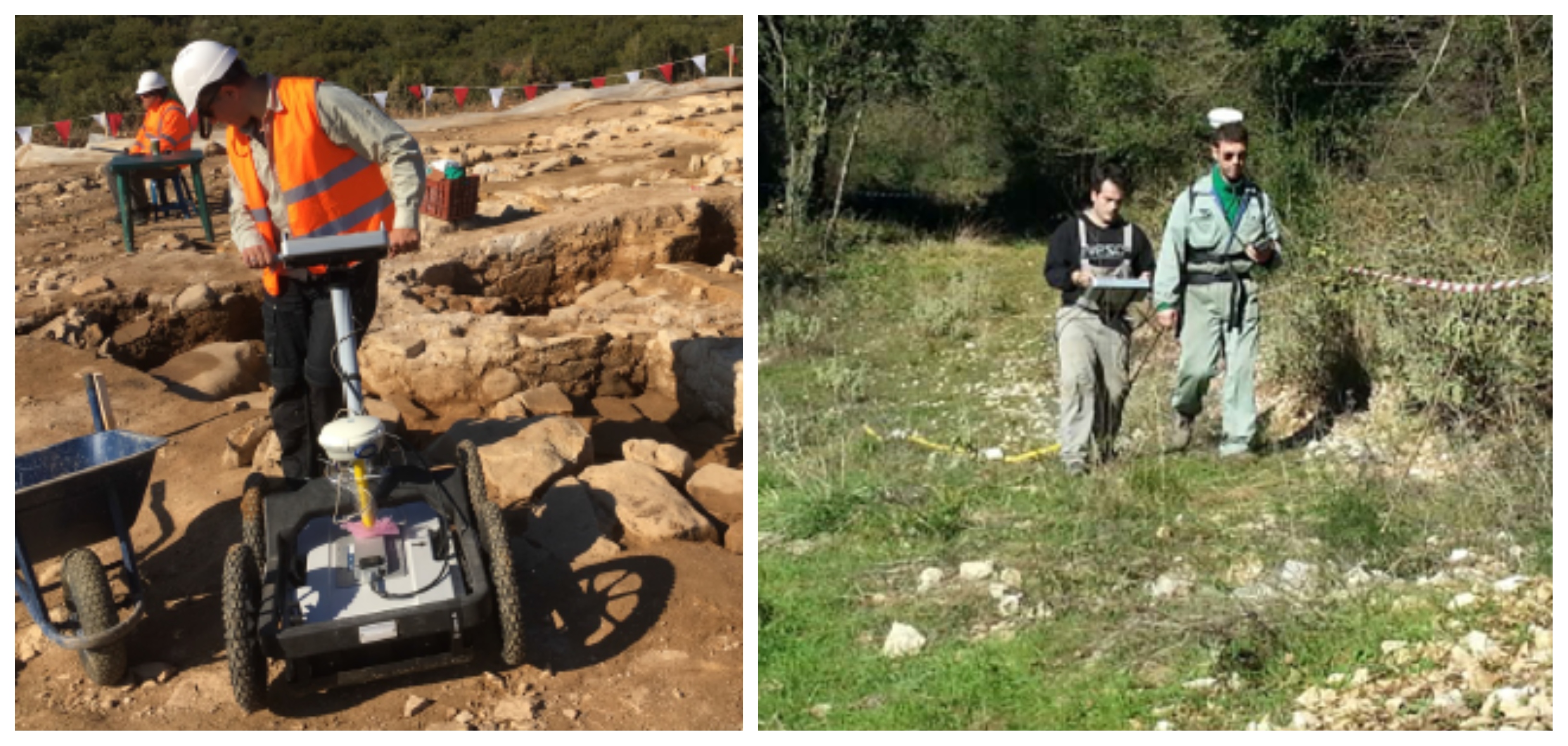
icon Investigation of Archaeological site
icon Detection of the tectonic regime (fractures / faults, layer boundaries, e.t.c.)
icon Detection of buried pipeline position and orientation
Equipment
icon GPR instrument by Mala